Global Forum For Indurstrial Devlopment is SPONSORED BY ICO INDIA
- MP Society Registration (Act. 1973 No. 44) 03/27/01/21857/19 (MSME Forum Established Since-2009)
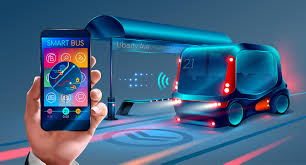
Everyone wishes that their commute to work was a little bit faster, a little bit better. In fact, we want to get anywhere that we’re going more quickly and more comfortably than ever before.
The ever-changing technology landscape has meant big changes in every aspect of our lives. And now these advances have promised to improve transportation in every form.
High congestion rates due to more vehicles on the road have brought the need for an improved transportation system to the forefront of our minds.
And with the global Intelligent Transportation System (ITC) market being valued at over $25 billion, what's next for transportation? In this article we’ll cover all things smart transportation, and what the future may hold for the way we get around…
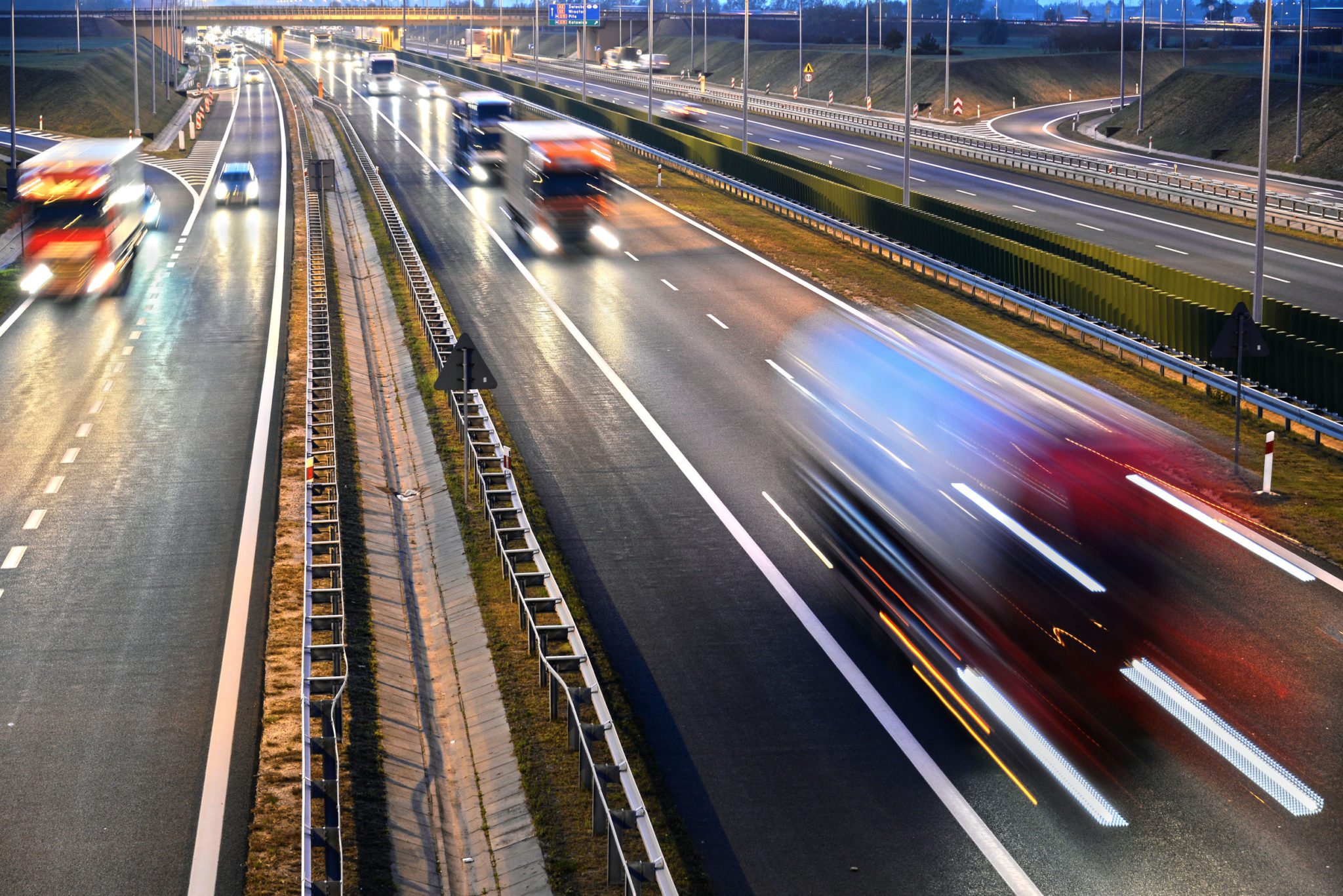
‘Smart transportation’ refers to the integrated application of modern technology and management strategies into transportation systems.
You’re probably more in touch with it than you may think! Smart transportation can simply mean the basic management systems we’re already accustomed to, such as:

All over the world, technological advancements are bringing smart transportation to the forefront of people's everyday lives. Here are some examples:
Dublin has implemented a city-wide sensor system that allows the people who live in the city to move around much more efficiently. It works by data being collected from bus timetables, traffic detectors, closed-circuit cameras and GPS updates transmitted by city buses every 20 seconds.
Meaning the operators can monitor and manage traffic in real-time and can take a look at the entire network in a single glance. This allows better traffic management and the ability to give road user
Although these cards may have become a regular in many people’s pockets. They should still be considered somewhat of an advancement. They work by being pre-loaded with funds, and credit is deducted each time the user scans it at a ticket date.
They completely alleviate the need to wait in line for a ticket, and allows users to quickly make their way through a busy train station. Which is ideal if you’re running late on your morning commute!
The automatic fare collection gates make it even quicker and easier for people to pass through a station.
A free app from the police has been introduced in Atlanta, designed for people to report suspicious activity they may witness or be involved in on public transport.
It’s specially designed for areas that have poor cell phone signal- such as the subway underground where usually it’s difficult to make contact with anyone outside the area.
It enables two-way communication between the user and the police, easily and quickly in order to respond to emergency situations.
Public transportation in Seoul is certainly a cut above the rest. Their metro systems have smart payment systems, 4G, and Wi-Fi. On top of all that, their subways are climate controlled and have seat warmers.
Their subway stations also have digital terminals so commuters can look up the best route for their journey. Which is a really practical use of technology and space within their station- and a real people pleaser!
But what really sets them apart is that some stations even feature virtual grocery stores! They feature walls that look like store shelves, displaying images and prices of common products. Each sign includes a QR code, consumers shop by scanning products and their orders are delivered to their home or office within the day.
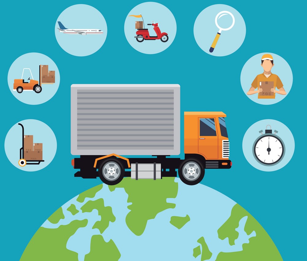
We’re no doubt just at the very first stages of what’s ahead with smart transportation.
‘Smart cities’ are already taking off and more of these are definitely on the horizon. SingularityHub reports that 1,000 smart city pilots are under construction or are in their final planning stages across the world.
Smart cities will help us to be greener and will connect countless industries such as real estate, energy, transportation and more! When smart cities reach their peak, they will be able to self run, and every single one of us will connect our data to the city we live in.
Intelligent transportation system is the application of sensing, analysis, control and communications technologies to ground transportation in order to improve safety, mobility and efficiency.
Intelligent transportation system includes a wide range of applications that process and share information to ease congestion, improve traffic management, minimize environmental impact and increase the benefits of transportation to commercial users and the public in general.
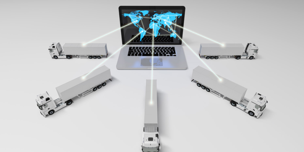
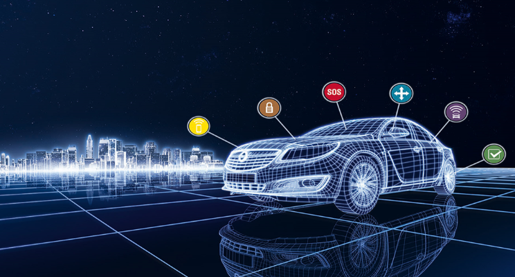
It is possible to monitor traffics using several means such as inductive loop detectors, traffic sensor.
Examples of traffic senors are ultrasonic and radar, video image detector (VID), and Visual images from closed circuit television (CCTV) which provide live images to help the traffic center operator monitor complicated traffic situations and make suitable decisions.
Information collected at data management center required to be processed, verified, and consolidated into a format that useful for the operators. This can be done using data fusion process.
Added to that, Automatic Incident Detection (AID) may also be used for data processing. global positioning system (GPS) can be used on vehicle side to process data.
Several ways can be used to convey messages for example wireline or wireless, Fibre optics, electronic toll collection (ETC), commercial vehicle operations (CYO), parking management, signal preemption, in-vehicle signing, in-vehicle traveler information, and beacon-based route guidance systems.
Some of these data communication technologies are used by data management center whereas others used from vehicle side.
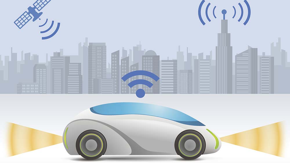
Traffic and other related information can be distributed in various ways in order to improve transportation efficiency, safety, and environmental quality.
For example, telephones, radio, television, desktop computers, fax machines and variable message signs (VMS), car radios, cellular telephones, lap top computers and hand-held digital devices.
This involves ramp metering to control the flow of vehicles merging onto an expressway, and co-ordination of traffic control within large urban areas takes place at the traffic management center.
In addition to dynamic route guidance which permits the user to make strategic decisions on a minute-by minute basis, and adaptive cruise control which allows the driver to automatically reduce vehicle speed in order to keep a safe headway from the vehicle in front.
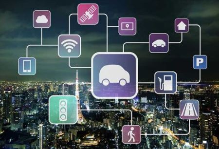
The entire application of ITS is based on data collection, analysis and using the results of the analysis in the operations, control and research concepts for traffic management where location plays an important role. READ MORE: GIS in Transportation Here sensors, information processors, communication systems, roadside messages, GPS updates and automated traffic prioritization signals play an imperative role in the application of: